The Tennessee River, the UT campus, 1,426 feet of climbing through a Southern college town, and a viaduct that arrives at mile 24 right when you think the race is over.
This breakdown is based on detailed course mapping, historical race conditions, and real runner feedback from past years.
You probably signed up for Knoxville because it felt manageable. A college town, a loop course, good crowd support, the Tennessee River. It's not a destination race. It's a race you run because you want to run a good marathon and you've heard people do exactly that here. That's accurate, as long as you respect what the course actually asks for.
Knoxville loops through nine distinctly different sections of the city, starting and finishing at World's Fair Park in the shadow of the Sunsphere, a 266-foot gold geodesic sphere left over from the 1982 World's Fair. The course climbs through the Fort Sanders residential grid early, drops into the gorgeous canopy of Sequoyah Hills, crosses the Tennessee River twice, runs under Neyland Stadium, heads out through north and east Knoxville for the lonely middle miles, and comes home through the Clinch Avenue Viaduct. It is 1,426 feet of climbing on a loop that nets almost perfectly flat. On paper.
A few things worth knowing before April 12. The start has festival energy and the opening streets drift slightly downhill. That combination will push you 20-30 seconds per mile faster than you should be running before you notice it happening. Miles 17 through 21 are where this race gets decided, thin crowd, open roads, 10% shade, and the Holston Hills Roller sitting at mile 20.5 for whoever didn't manage the first half. And then the viaduct at mile 24.8: 125 feet of climbing when you think you're home. It's not cruel. It's just honest.
By terrain, exposure, and how effort changes across the race.
The race starts at 7:30am in World's Fair Park, at the base of the Sunsphere. That's the gold geodesic sphere on a steel tower that's been standing here since Knoxville hosted the World's Fair in 1982. It is 266 feet tall. It is Knoxville's most recognizable landmark by a significant margin.
The energy at the start is genuinely good. Heavy crowd, wide downtown streets, festival atmosphere. And the road tilts slightly downhill out of the gate. Everything about the first two miles says to open it up. That is the trap. Add 10 seconds per mile and mean it.
Aid stations: Mile 1.5
The course moves through Knoxville's Old City, 19th-century warehouses now bars and restaurants, before climbing into Fort Sanders, the dense residential neighborhood that borders UT's campus. The neighborhood is named for the Civil War fort that stood here during the Siege of Knoxville in 1863.
The Fort Sanders Hill starts at mile 2.9 and doesn't stop until mile 4.6. It is the longest sustained climb on the course. The streets are tighter here, the crowd thins into something more residential, and there's no single steep pitch to key off of, just a long grind through a grid of Victorian homes. Fresh legs absorb it. Fresh legs that ran the first two miles too fast start feeling it somewhere near the top.
Aid stations: Mile 3.0, Mile 4.5
The course drops toward the Tennessee River through Sequoyah Hills, and this is where Knoxville earns its scenery rating. Enormous oaks and hickories close over the boulevard. 65% shade on a morning that may already be warm. The terrain eases, the pace settles, and the neighborhood is genuinely beautiful in the way that makes you briefly forget you're in the middle of a marathon.
Use this section to settle. Not to accelerate. The descent toward the river in miles 5 and 6 will tempt you to open up, resist it. Let the shade do its job and arrive at the river feeling controlled.
Aid stations: Mile 6.0, Mile 7.5
The course crosses the Tennessee River and runs along Neyland Drive directly beneath Neyland Stadium. One of the largest stadiums in the country, 102,000 seats. On race day, the stadium is completely empty and silent. The river glitters to your left. It's one of the stranger stretches you'll run in a marathon.
The bridge crossings are the most exposed section on the course. Wind picks up off the water and the pavement surface changes, shorten your stride and stay balanced. The terrain through this section is more rolling than it looks. 15% shade and a persistent SW wind from the river. Keep effort steady, not pace.
Aid stations: Mile 9.0, Mile 10.5
Fourth and Gill is a neighborhood of Victorian and Craftsman homes just north of downtown, listed on the National Register of Historic Places. Residents come out for the race. It is the best crowd support you'll have seen since the start, and it arrives just past halfway, which is exactly when you need something.
Run goal pace through here. The terrain is manageable, the crowd gives you something to run into, and your body is warmed up but not yet deep in debt. Miles 11-14 are the cleanest opportunity on this course. Don't waste them.
Aid stations: Mile 12.0, Mile 13.1
The crowd thins. The Victorian streetscape gives way to wider, quieter east Knoxville residential corridors. The course peaks near mile 15 at the highest point on the route before descending slightly into the Holston Hills area. Shade drops to around 10%.
This is where the race becomes a conversation with your earlier decisions. If you ran the first half at plan, you feel manageable here. If you didn't, you feel it starting to accumulate. Add 8 seconds per mile through this block. Not a suggestion.
Aid stations: Mile 14.5, Mile 16.0
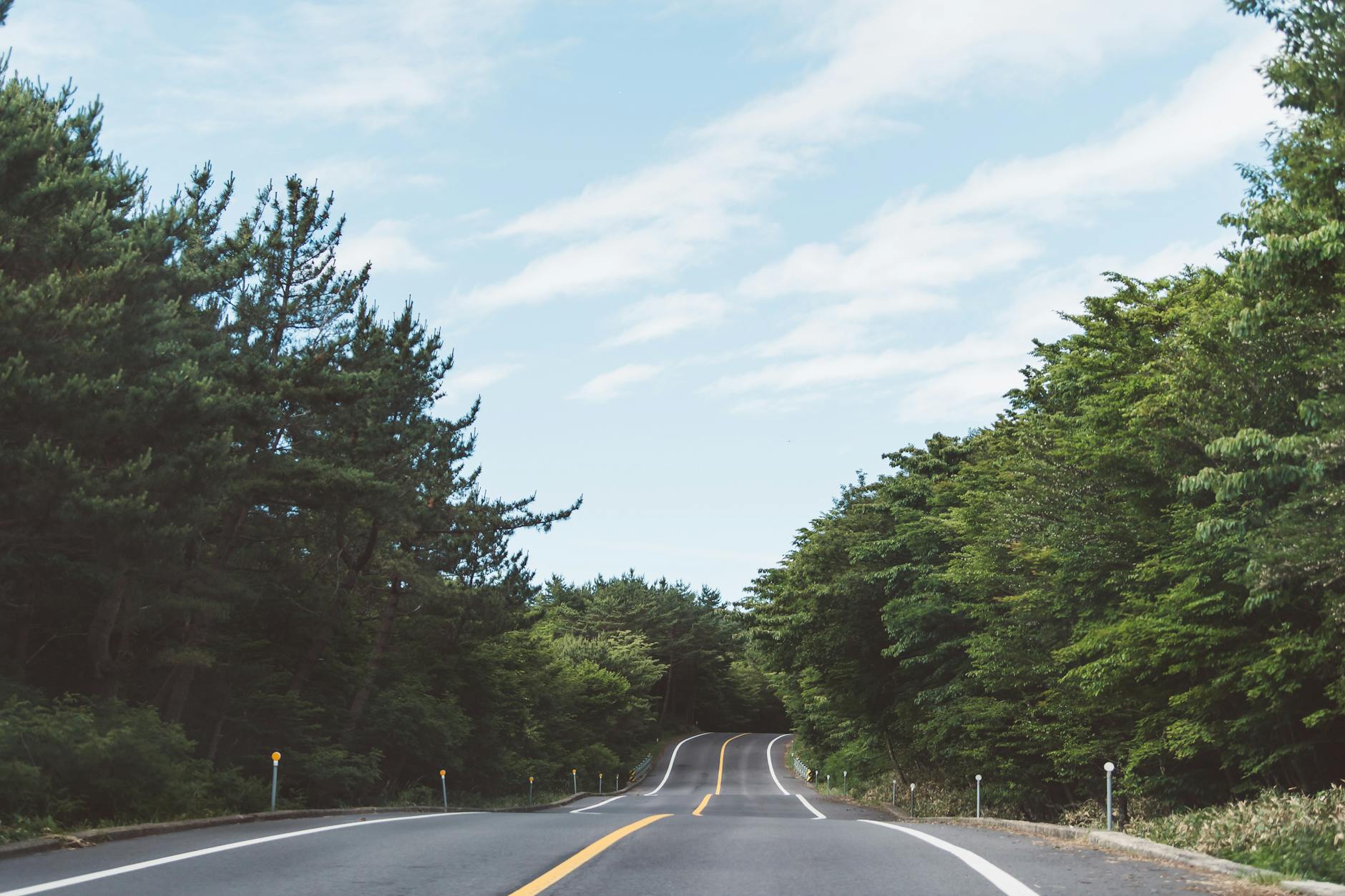
This is the hardest stretch on the course. Not because of one famous landmark. Because it's everything compounding: 17-plus miles in the legs, 10% shade, a westerly headwind on the return route, and almost nobody around. Then, at mile 20.5, the Holston Hills Roller.
It's not a long climb. A little over a quarter mile of steep grade. On fresh legs you wouldn't remember it. At mile 20, with glycogen depleted and your legs already asking questions, it hits differently. Runners who arrive here with something left manage it. Runners who've been fighting the course since mile 3 blow up.
Walk the steepest part if you need to. You are not losing the race by walking 400 meters. You are losing it by running those 400 meters hard and having nothing left for the viaduct.
The Goody's Mile 20 Experience aid station is at mile 20, the most stocked station on the course. Use it.
Aid stations: Mile 17.5, Mile 19.0, Mile 20.0
The descent from miles 21 to 22 is the first genuine relief since Sequoyah Hills. Let it help you, but don't hammer it, aggressive downhill running at mile 21 causes cramping and trashed quads, and the viaduct is three miles away. Tree cover starts to return. The crowd builds slowly as downtown gets closer.
This section is recovery and rebuild. Let the terrain reset you. By mile 23, you can hear the finish area starting to build ahead.
Aid stations: Mile 21.5, Mile 23.0
The Clinch Avenue Viaduct. Mile 24.8. 125 feet of climbing. The second-biggest climb on the course, sitting right there in the final mile when you thought you were done.
It is a historic elevated roadway connecting downtown to Fort Sanders, and it has been here since long before road racing was a thing. On race day it is also the thing that catches everyone off guard. You feel the grade kick up and every instinct says this should not be happening at mile 24. It is happening at mile 24. The crowd noise at the top is the loudest it's been since the start and the descent to the finish is real.
After the viaduct, it's over. The Sunsphere appears ahead. World's Fair Park opens up and the finish line is exactly where you left it 26.2 miles ago. Same block. Different legs.
Aid stations: Mile 24.5, Mile 25.5
You don't need to remember all of this on April 12. We give you a voice in your ear that knows what's coming, when to hold back, when to go, and how to handle the viaduct when it arrives in the final mile.
This isn't a generic plan. It's built around this course.
Check it outFree · iPhone + Apple Watch
This race changes the whole way through. You start at a city festival, loop through nine different sections of Knoxville, and finish on the same block you started from. What happens in between depends almost entirely on the first five miles.
The climbs that matter most aren't the ones on the course map. Fort Sanders is early enough that fresh legs survive it. The Holston Hills Roller looks small and arrives at exactly the wrong time. And the viaduct, which you will have forgotten about completely by mile 21, is waiting at mile 24.8 for whoever didn't pace the first half right.
Keep it controlled early, use Sequoyah Hills to settle, run goal pace through Fourth and Gill, and get through the east side with something left. Do that and the viaduct is hard but manageable. It's a good race. It just requires being honest about what it's asking for.
You don't need to remember all of this on race day. We give you a voice in your ear that knows what's coming, when to ease off, when to push, and how to adjust as the race unfolds.
Scott's a good fit here. Direct, high energy, and exactly the voice you want when the east side gets quiet and you need someone keeping you honest through miles 17 to 21.
This isn't a generic plan. It's built around this course.
Check it outFree · iPhone + Apple Watch